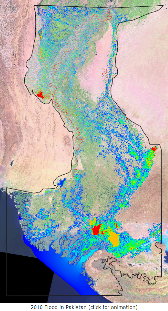
 Late summer 2010 proved to be a record year for flooding of the Indus River in Pakistan. In response to requests by the U.S. Army, flood extents were provided to aid humanitarian assistance in the affected areas along the Indus River. Numerical modeling provided the best way to compute the flooding in this situation, but with limited bathymetric/topographic and inflow information, assumptions had to be made. Results from the numerical modeling formed a part of the information used for formulating and executing a time sensitive response to the flooding, hence timelines were of significantly higher importance than complete accuracy of the numerical modeling results. An Adaptive Hydraulics (AdH) model of the Indus River from Sukkur to the Arabian Sea was developed, covering approximately 108,000 square kilometers of Pakistan. This AdH model includes features necessary to calculate flooding by using the time adaption and wetting/drying features within the code. Initial flood results were provided as necessary; but without validation data the accuracy of the model was uncertain. Based on aerial images taken during the flood, the model results were compared to the flood extents to determine the level of accuracy of the model. Levees were defined in the model, after the fact, to better represent the system and comparisons were made to September 4, 2010 conditions. The AdH model results approximately reproduce the area of flooding for initial emergency operations even with little knowledge of the area and the inflow conditions. The results from this exercise, such as time dependent flood inundation maps, show that rapid modeling of large scale flooding is possible in emergency situations. Lessons learned and recommendations for future similar efforts are included.
For more information, contact the project lead, Jennifer Tate, U.S. Engineer Research and Development Center (ERDC), Coastal and Hydraulics Lab (CHL) at: