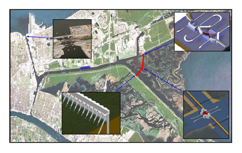
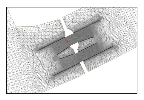
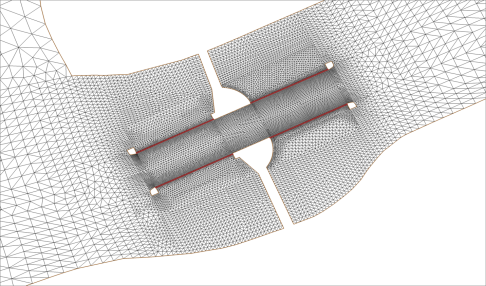
The U.S. Army Engineer Hurricane Protection Office (HPO) requested a numerical modeling study for the purpose of analyzing the hydrodynamic impacts of a proposed gate structure to be built as part of the storm surge barrier on the Gulf Intracoastal Waterway (GIWW) east of the Michoud Canal. The section of the GIWW that is of interest for this project extends southwest approximately 20 miles from its connection with Lake Borgne to its confluence with the MRGO. A two-dimensional hydrodynamic model was used to analyze the effects of a dual-gate structure on the GIWW. Simulations included high flow and low flow conditions, vessels in the structure area, and storm surge events. Model results were provided for ship simulation for some of the alternative conditions. More information can be found in ERDC/CHL TR-10-10.
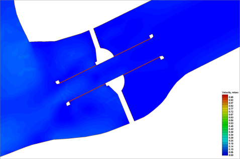
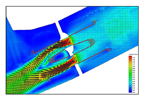
The animation below is of the velocities at the structure (click to load animation).
For more information, contact the project lead, S. Keith Martin, U.S. Engineer Research and Development Center (ERDC), Coastal and Hydraulics Lab (CHL) at: