Locations

Redirecting...

CHL Facilities and Products

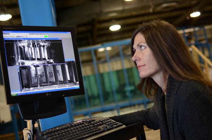
CHL's Fish Passage and Turbine Survivability facility.

The CHL complex houses 1.5 million square feet of physical facilities and provides a modern infrastructure for leading coastal and inland water resource management research and development.

A 90,043-square foot office building serves as the CHL headquarters and houses a 275-seat conference room and office space for 148 team members.

Click on the items below to learn more about facilities and products at CHL.

CHL Products

Adaptive Hydraulics Model System
The Adaptive Hydraulics (ADH) Model System is a modular, parallel, adaptive finite-element model for one-, two- and three-dimensional flow and transport...
ADCIRC
To predict storm surge water level and help control the impact of storm damage...
ADvanced CIRCulation Model
ADCIRC is a modeling system that predicts storm water level to help control the impact of storm damage...
Beach-fx
Beach-fx is a comprehensive innovative modeling tool and analytical framework for evaluating the physical performance and economic benefits and costs of shore protection projects...
BOUSS-2D
BOUSS-2D is a comprehensive numerical model for simulating the propagation and transformation of waves...
C2SHORE
The ADH Sediment Library Control contains the graphical prompts for specifying model options. The dialog is accessed through the ADH | Sediment Library Control menu item.
CADET
The purpose of CADET is to assist USACE engineers in determining the dredging depth of federally maintained channel design projects...
CEDAS
his suite contains the following models - RMAP(Regional morphology analysis package), BMAP(beach morphology analysis tools), Genesis(generalized model for simulating shoreline change), ACES(automated...
Interacive CEM
This manual provides a single, comprehensive technical document that incorporates tools and procedures to plan, design, construct, and maintain coastal projects...
CGWAVE
CGWAVE (Panchang & Xu 1995) is a 2D finite element model based on the elliptic mild-slope wave equation...
CHIRP
A Chirp system emits an acoustic pulse (called a “ping”) from the transducer that travels down through the water column...
CIRP - Coastal Inlets Research Program
The United States, through the U.S. Army Corps of Engineers (USACE), has a national interest in the stability and evolution of coastal inlets. Almost $1 billion is expended annually to operate and...
Coastal Lidar and Radar Imaging System
Coastal Lidar and Radar Imaging System is a suite of sensors mounted on a 4x4 van that we use to survey the sub-aerial beach and dune pre/during/post-storms and quarterly throughout the year.  
Coastal Lidar and Radar Imaging System
Coastal Lidar and Radar Imaging System is a suite of sensors mounted on a 4x4 van that we use to survey the sub-aerial beach and dune pre/during/post-storms and quarterly throughout the year.  ...
Coastal Hazard System
Coastal hazards such as storm surge, waves, currents, wind, and rainfall associated with hurricanes and extratropical storms can have devastating effects on coastal communities...
Coastal Lidar and Radar Imaging System
CLARIS is a full mobile mapping systems that quantitatively measures both subaerial topography and shallow-water bathymetry of coastal regions during storms...
Coastal Model Test Bed (CMTB)
Numerical models developed at the Engineer Research and Development Center (ERDC) Coastal and Hydraulics Laboratory (CHL) are used by engineers, scientists, and coastal planners in Corps Districts,...
Coastal Modeling System
The Coastal Modeling System (CMS) is a suite of coupled two-dimensional (2D) numerical models for simulating waves, hydrodynamics, salinity and sediment transport, and morphology change...
Coastal Modeling System (CMS)
The Coastal Modeling System is an integrated 2D numerical modeling system for simulating waves, current, water level, sediment transport, and morphology change at coastal inlets and entrances...
ERDC Wave Flumes
The Engineer Research and Development Center (ERDC) Coastal and Hydraulics Laboratory (CHL) houses three state-of-the-art wave flumes that address research, design and development, and site-specific...
Hudson Integrated Coastal Engineering Research Facility (HICERF)
The Engineer Research and Development Center (ERDC) Hudson Integrated Coastal Engineering Research Facility (HICERF) directional wave basin is a state-of-the-art resource for discovery, development,...