 WASHINGTON—ERDC Topographic Engineering Center (TEC) Geographer Elizabeth Lyon recently participated on a panel with the U.S. State Department and the National Geospatial Intelligence Agency to discuss procuring and deploying open source geospatial tools for government use.
The event brought together representatives from across the U.S. Government, international organizations, non-profit organizations and non-government organizations all interested in using open source technologies as part of the next generation of geospatial activities.
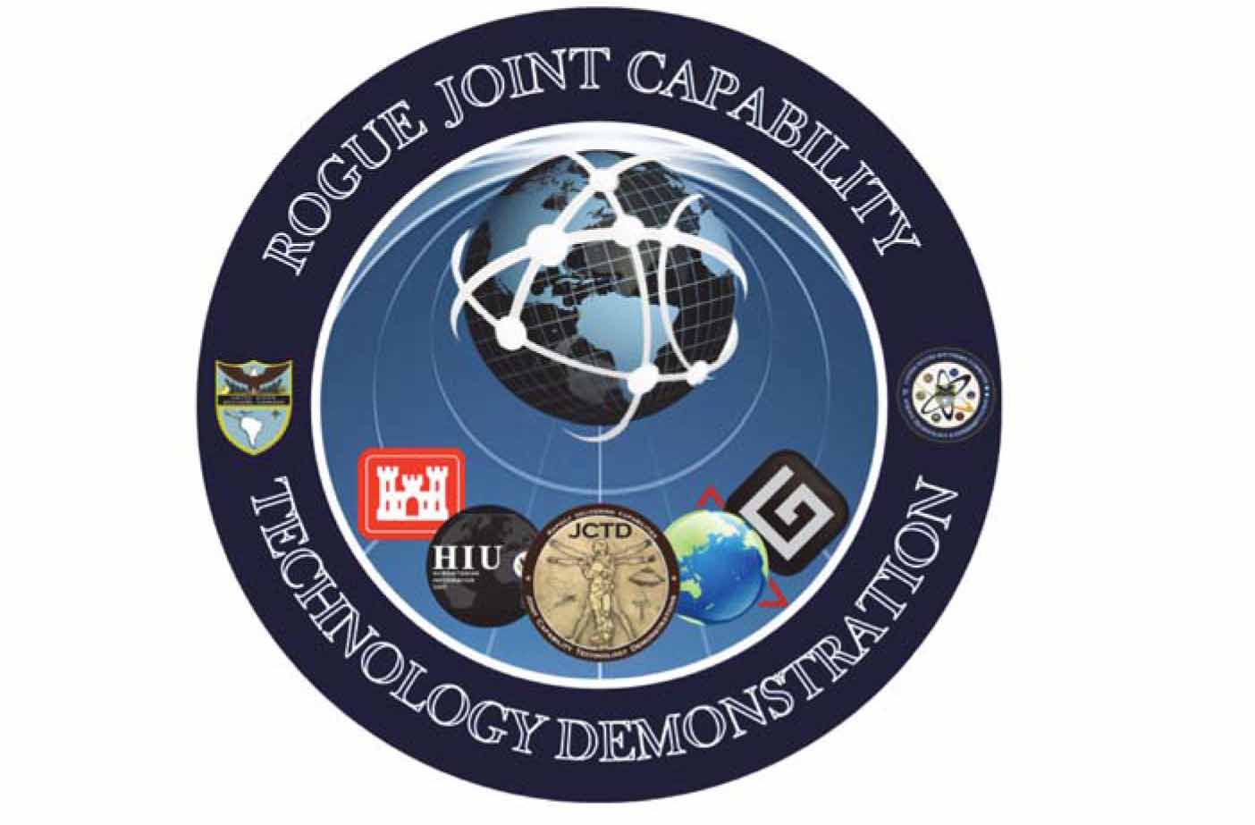
Open source applications are changing geographic information systems, cartography, web mapping, and map publishing, throwing open the door of what is possible in geospatial. The U.S. Army Corps of Engineers (USACE) has a long history of supporting Open Source Work and continues that legacy currently in many research activities. Three projects that USACE supports were highlighted at the event: The Rapid Open Source Geospatial User Environment (ROGUE); MapStory; and a water infrastructure project.
Learn more about TEC research at http://www.erdc.usace.army.mil/Locations/TopographicEngineeringCenter.aspx. For the latest white paper describing the technical plan for ROGUE see: www.lmnsolutions.com/whitepapers/ROGUE_JCTD_WhitePaper_020513.pdf.
Contact
Public Affairs Office
601-634-3188